BioSAT fuses layers of spatial and economic data together to create a relational database for geographic-based economic cost assessment for woody and agricultural residue biomass collection or processing demand centers. The integrated suite of site assessment tools provide a web-based economic decision-making framework for agricultural and forestry biomass that appeals to a broad client base by providing supply chain cost and logistics for cellulosic biomass markets and products.
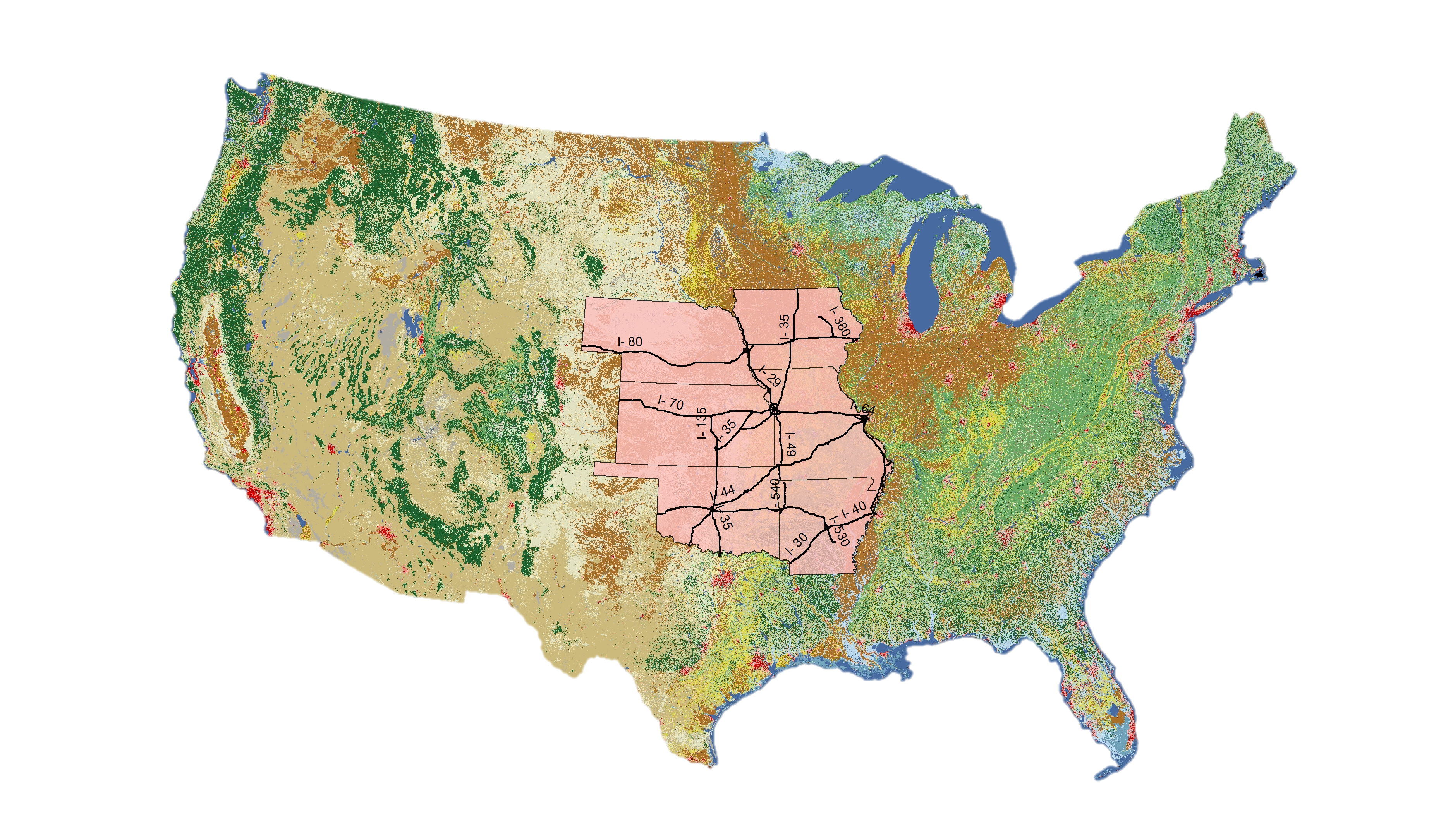
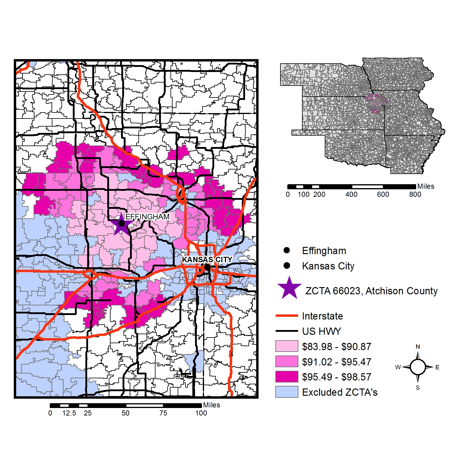
BioSAT Kansas (Biomass Site Assessment Tools) helps rapidly screen and optimally site biomass collection or processing centers by zip code for the state of Kansas. The resolution of the BioSAT Kansas model is by five-digit zip-code tabulation area (ZCTA) for the state of Kansas and 5 neighboring states: Arkansas, Iowa, Missouri, Nebraska, and Oklahoma.
Resources:
Kansas Biomass Site Assessment Tools
KS BioSAT Final Report (Ag. and wood)
KS BioSAT Final Report (wood only)